About this webinar
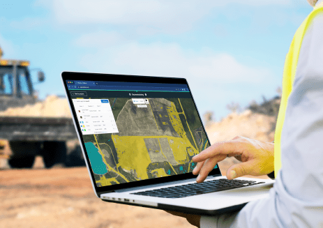
The digital transformation of the mining industry has revolutionized the way organizations conduct mining operations, with a focus on enhancing productivity, efficiency, and safety. One of the critical components driving mining innovation is geospatial data and intelligence.
Join us for the first in a new series of interactive events that will dig deep into this transformation and how mining organizations can use geospatial data to its fullest potential.
The webinar was moderated by Steven Ramage, founder and CEO of Réseau and a member of the Governing Board of Digital Earth Africa (DE Africa). He was joined in conversation by Lisa-Maria Rebelo, Lead Scientist at DE Africa, and Prof. Amos T. Kabo-Bah, Associate Professor at the University of Energy and Natural Resources. All shared their unique insights and experience following decades within the geospatial and mining industries.
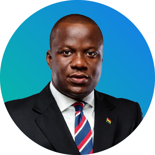
We were also very pleased to be joined by Hon. Samuel A. Jinapor, the current Minister of Lands and Natural Resource and Member of Parliament for the people of Damongo Constituency, Savannah Region, in Ghana who gave a special introduction to the webinar.
You will learn about:
- Challenges within the mining industry related to physical, natural, environmental, and regulatory issues.
- How to leverage geospatial data to address these challenges.
- Real-world examples of how to implement geospatial data in mining operations.
More about the speakers:
Steven Ramage, has almost three decades of experience in location data, tools, and services, and has held leadership roles at major industry players including Here, 1Spatial, Ordnance Survey, and what3words. Steven has also worked in key roles with international organizations such as the OGC, United Nations, World Bank, and GEO. Steven is on the Governing Board of Digital Earth Africa, and the Steering Committee of Digital Earth Pacific.
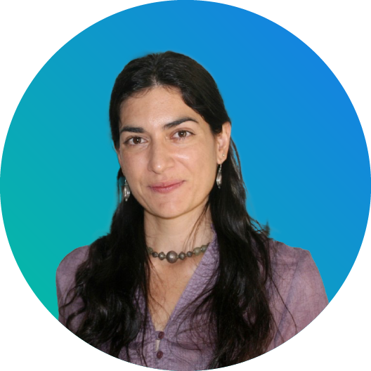
Lisa-Maria Rebelo is a remote sensing specialist with 20 years of experience working in Africa and Asia, with expertise in the provision of spatial information and indicators to inform land and water management strategies, and the integration of research outputs into policy processes. Her research has focused on the development of new, innovative Earth Observation (EO) based tools and applications which enable better informed decision making, including for basin scale water accounting in data scarce regions; wetland inventory, assessment, and monitoring; key performance indicators for agricultural water use and productivity across scales; and the integration of ICT based tools and applications.
Dr. Kabo-bah is an Associate Professor and currently the Dean for the International Relations Office of the University of Energy and Natural Resources. He is a Principle Programme Board Member for the Group on Earth Observation (GEO); an intergovernmental organization working to improve the availability, access and use of Earth observations for the benefit of society. He is also the founder, of Green WaterHut, an NGO supporting small-scale miners for alternative livelihoods.


.png)